Day 16
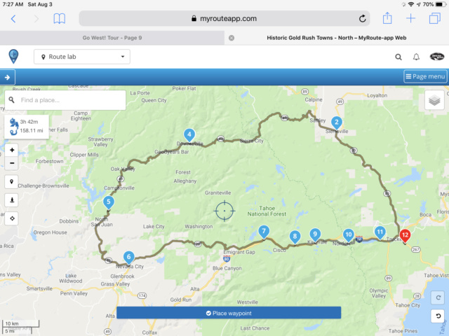
Old Gold Rush Towns - 158 miles
We spent the day touring the Sierra Nevada Mountains on the motorcycle. Here is the routing for the day...
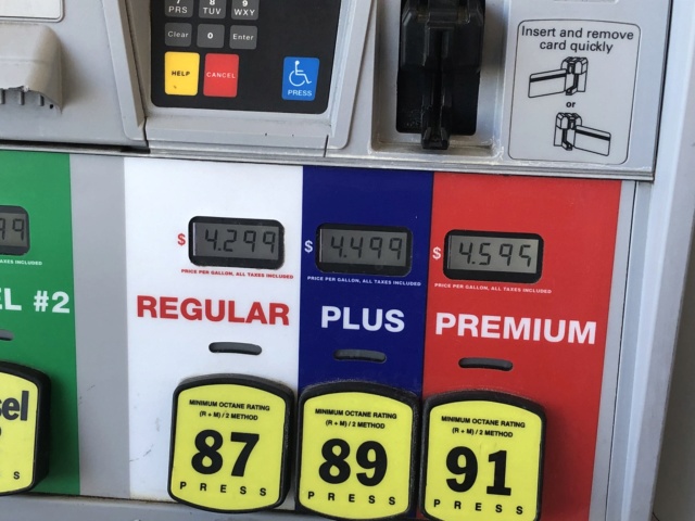
The first stop of the day was to fuel-up Dusty. I’m pretty sure this gas isn’t twice as good as what I buy in Texas. Gotta love those California fuel taxes!
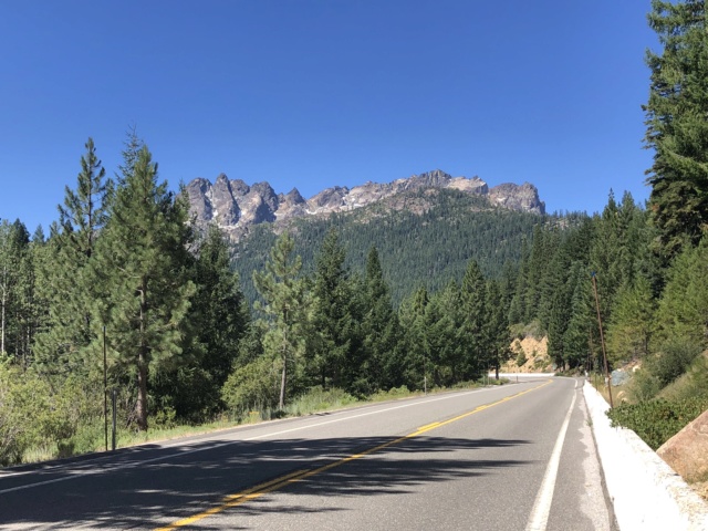
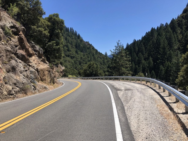
The scenery throughout the Sierra Nevadas is gorgeous and the roads in very good condition. The traffic was relatively light and the cagers well behaved. There were a fair number of bikes out, though not as many as I would expect given it was perfect riding weather and a Friday. Maybe everyone is headed to Sturgis?
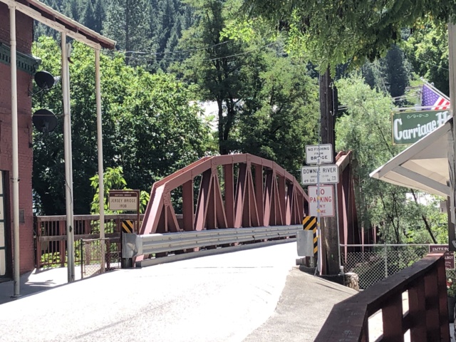
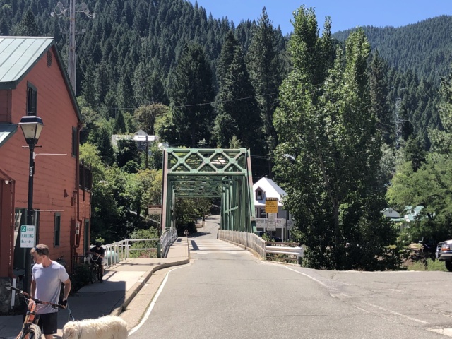
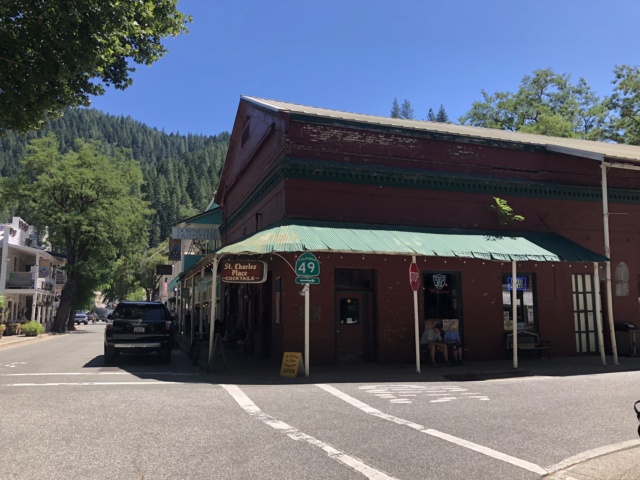
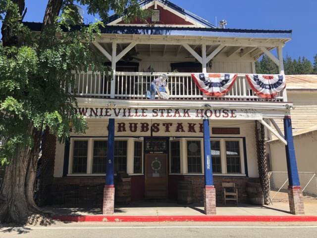
Our second stop was in Downieville, a quaint little town on the North Fork of the Yuba River. It was founded in 1849 during the Gold Rush. Many of the old buildings still stand, though the main industry today is tourism - mostly mountain biking. Lots of mountain bikers! There are two one-lane bridges that link the town together...neither of them one-way! We enjoyed an early lunch at the Two Rivers Cafe.
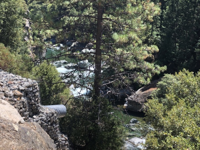
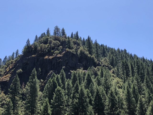
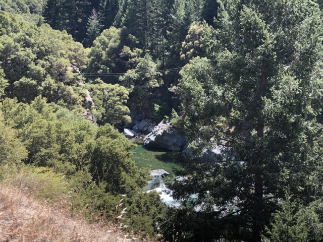
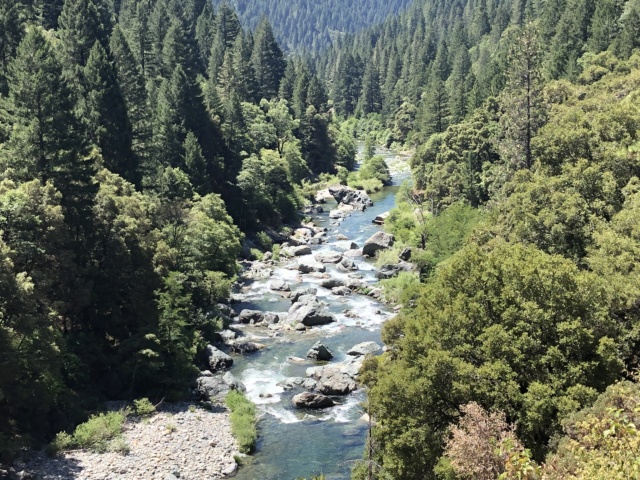
More pics along CA-49...
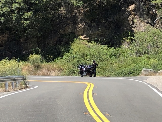
I had stopped abruptly to get the above pics, which startled Liz. Here she is giving me the stink eye...
Nevada City was our turnaround point. It’s a classic old west town, very cool vibe. We rode down Main Street, but didn’t stop because it was swarmed with tourists. Sett’s Rule #1 prevailed.
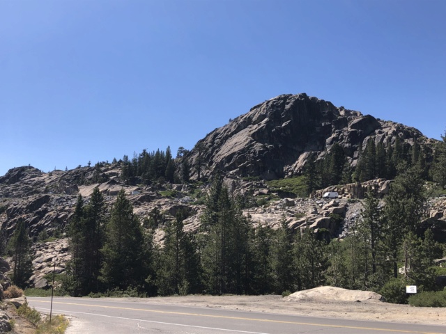
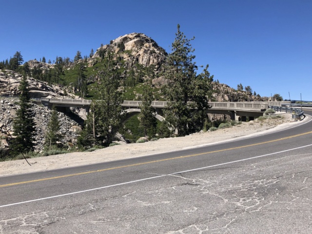
The options for returning to Truckee were either I-80 or CA-20. We opted for the backroad, CA-20, and the Donner Pass Road. Yes, that Donner Pass.
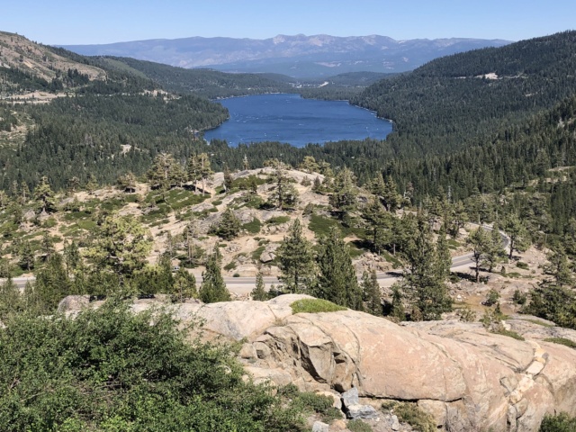
As you come out of the mountains, there is a great scenic stop, McGlashen Point, that overlooks Donner Lake.
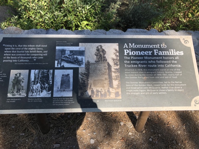
We stopped at the Donner Memorial State Museum to learn a little more about their fateful journey. As one might imagine, pioneer life was very difficult. Even more difficult when you choose to pick up and move to California. There were 89 persons in the Donner Party, made up of several families who met en-route to the West.
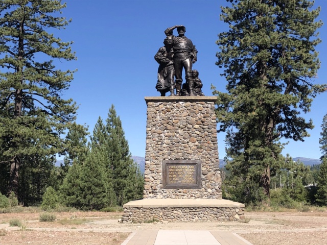
They were late in the season to attempt a crossing of the Sierra Nevada Mountains and chose to take a new route in hopes of carving some 300 miles out of their journey. It was a fateful choice, as only 42 of them made it to the other side. There are various accounts of whether they were swindled into taking the shorter route, but the official State of California version states it was a group choice...at least initially. They were met with a severe blizzard upon entering the mountains and the rest is history. The Pioneer Monument stands where one of the families had built a cabin to survive the storm.
Today was a great day to be a biker.

No comments:
Post a Comment