Need some wind therapy?

With 45+ years of riding experience, the team has developed a library of our favorite rides in Texas and points beyond. We call them our Twisted Rides. We thought it might be a good idea to share that experience and encourage you to do the same!

We partnered with MyRoute-app, a leading provider of route planning tools, to create and share the routes. Using the map below, Users are able to view and download the routes without registering with MyRoute-app. If you would like the ability to open/edit/save the routes, the User will be prompted to register with MyRoute-app and offered two subscription levels - Basic (free) and Gold (fee dependent on subscription term and payment method). Being an avid ride planner, I prefer the Gold level for the additional features and I also believe in supporting independent software developers who invest their time and talents to create useful applications for the motorcycle industry. As a Twisted Rides referral, you receive an extended evaluation period and special pricing if you choose the Gold level - so give it a shot!

What journey is on your bucket list? Click on a ride below and we'll show you the way!

Monday, May 14, 2018

GST Day 7 - Alpine, AZ to Phoenix - 336 miles

When on the road, one must listen to the voices...

We started the day with an awesome breakfast at the Bear Wallow Cafe, where an “order-up” is announced by a large cowbell above the kitchen door being rung by the cook via a string running back to the grill. The place is a classic Old West setting and the political views - as posted on signs and overheard - are as conservative as they come. Without a doubt, the best breakfast of the trip so far.


Ever since we dismounted in Alpine, every biker-knowledgeable person we met told us we need to take the new road that runs west out of Alpine towards Big Lake. The new road being AZ-249. The “new” part is the road was paved a few years ago (previously a dirt road) and it connects with several other paved highways to make a loop. “Even if you don’t have time to make the full loop, go up to Big Lake and back, it’s only 18 miles each way.”, they said...consistently. We really didn’t have time (needed to get to PHX to greet our wives as they landed) and didn’t realize the speed limit was 35mph the whole way until we got several miles into the road.


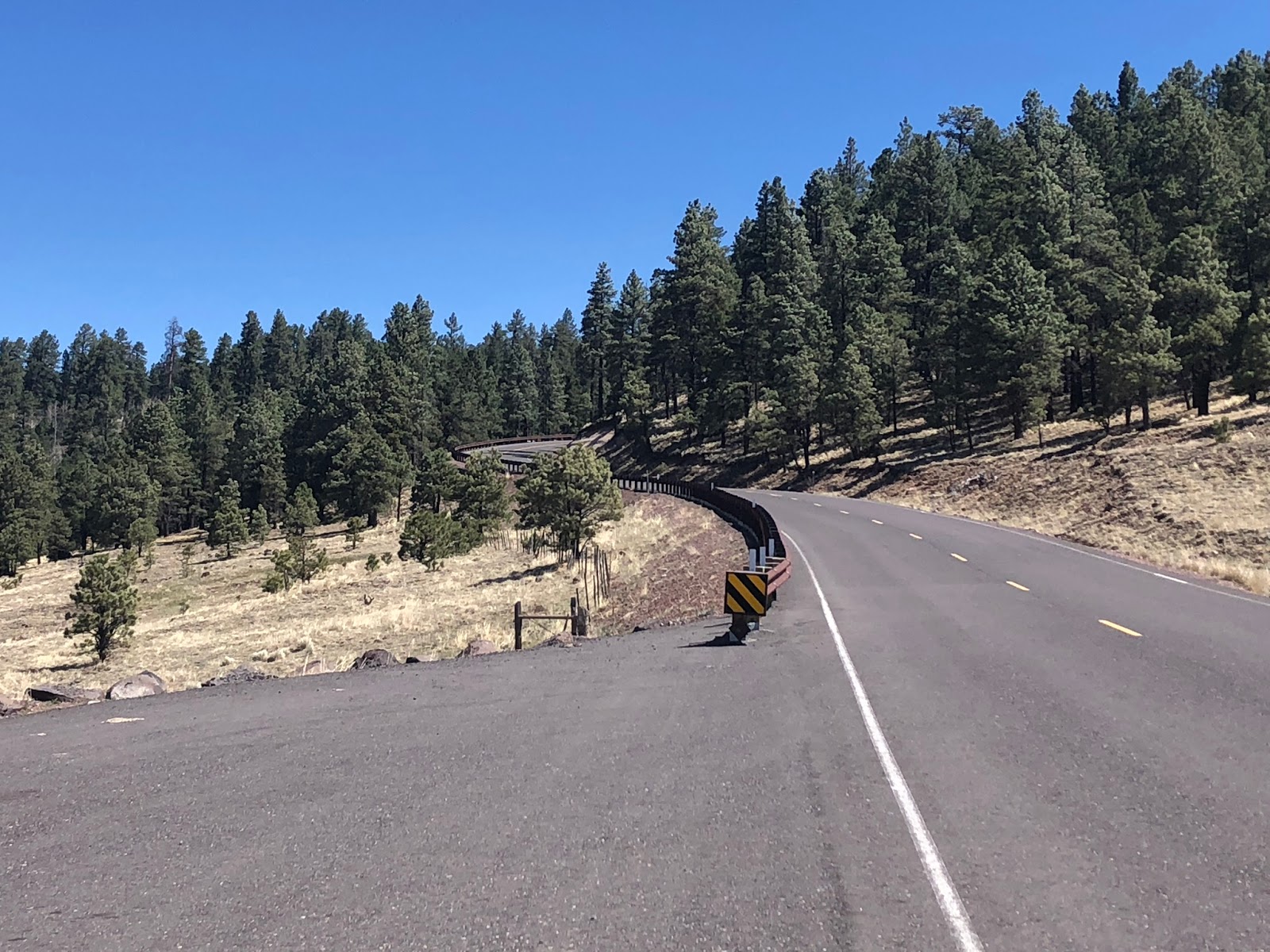
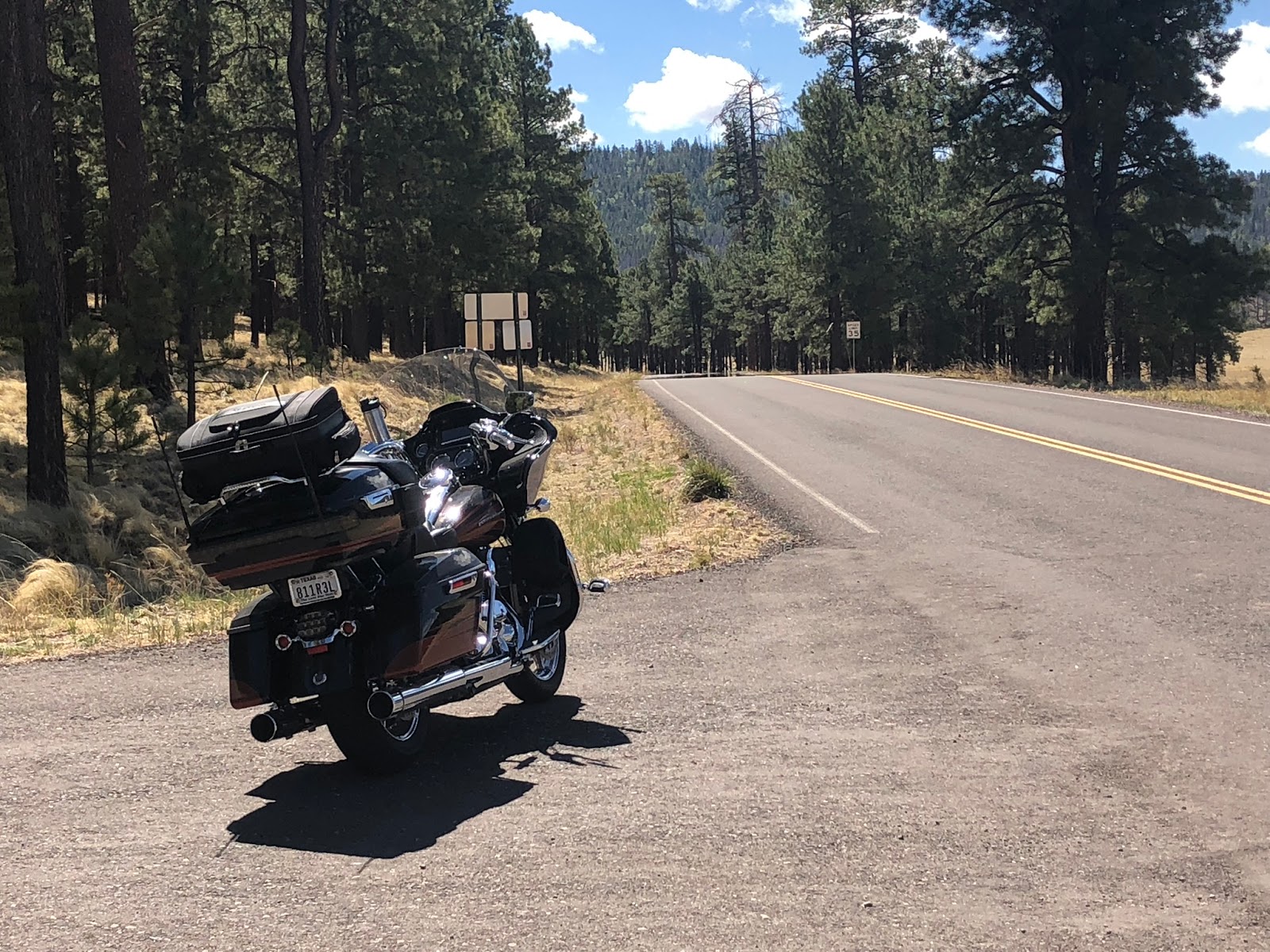


We may - or may not - have adhered to the posted speed limit. And we barely made it to PHX in time. But, man, am I glad we listened to the voices!

Back in Alpine, we met-up with a couple of riders from Texas who had just run the Devil’s Highway, formally Route 666 (now known as US-191 and the Coronado Trail). They have run the road several times over multiple trips, but always did the route South to North (we were doing the opposite). Armed with a fresh road conditions report, we set out with excitement.

Think Tail of the Dragon...only 9x longer. Seriously.

The road runs through the White Mountains...apparently all over the White Mountains! The peak is the Blue Vista rest stop which provides views for as far as the eye can see and the clouds allow. On the north side of the vista, the terrain is high sierra, while the south side is more high desert. It offers everything from wide sweeps to tights switchbacks...LOTS of switchbacks! Unfortunately, the Wallow Fire (2011j really took its toll on the forest that once provided a beautiful landscape and Mother Nature is struggling to recover. But this is definitely one of my Top 10 motorcycle roads in the US in terms of beautiful and technical challenge. Four hours of pure bliss.


At the southern end of the road are the twin cities of Clifton and Morenci, the latter of which is the home of the largest copper mine in the world, the Morenci Mine. US-191 runs through the middle of the mine and one gets an amazing view of the three pits that comprise the mine. While started as an underground facility, it was converted to a strip mine operation in the 1930’s. It looks like they are moving mountains...literally. No tour is available, but there is an observation area just off the highway which offers spectacular views of the operation.


Sunday, May 13, 2018

GST Day 6 - Alamogordo to Alpine, AZ - 299 miles

We expected today to be little more than a repositioning day into Arizona. We were pleasantly surprised.

US-54 out of Alamogordo is a pretty boring, straight four-lane road, but things began to get interesting as we turned west on US-380 in Carrizozo, NM. About four miles out of town, we came upon the Valley of the Fires Recreational Area. Valley of the Fires appears to be a large burned-out area, where the rocks looked scorched from black smoke. In actuality, it is several square miles of buckled and twisted basalt lava that is more than 160 feet deep and over 45 miles long. It was formed when several volcanoes in the area erupted and the flows joined.

Pic Source: Internet

As we continued across US-380, we abutted the northern boundary of the White Sands Missle Range, complete with signs indicating the road is sometimes closed during middle testing. We didn’t see any, but enjoyed the desert scenery.

In Socorro, we turned west again on US-60 and passed through Magdalena. About half-way to Datil, we saw what appeared to be many, many huge satellite dished on both sides of the highway. As we closed-in, we saw signs indicating it was a National Radio Astronomy Observatory facility. This particular facility houses the Very Large Array (VLA), which has been used to find black holes in space. VLA = Very Cool. I now wish we’d stopped to tour the small museum onsite. Oh, it’s also the location where the movie Contact was filmed.

Pic Source: Internet

Pic Source: Internet

Pic Source: Internet

Pic Source: Internet

In Datil, we turned South and eventually west on NM-12, riding through the mountains in the Gila National Forest - a beautiful road chocked full of twisties and elevation changes. Sadly, a large portion of the forest, as well as the area around Alpine, were burned in the Wallow Fire (2011) which was started by a campfire. The two men responsible were fined $3.7 million. If you’re going to play with fire...


In Alpine, we checked into the Sportsman’s Lodge, a quaint mom and pop motel run by a nice couple (Phyllis and Frank) who are also motorcycle riders. After checking-in, Phyllis brought us a little brasket with motorcycle cleaning supplies and micro fiber towels. Nice touch! The porch is complete with comfortable chairs and the view overlooks a large open meadow that usually have elk grazing in the evenings, though none appeared today.


During happy hour, we met Spencer, a BMW adventure biker who was also staying at the motel. He ended up joining us for dinner at the Alpine Grill and Still. He is from Santa Fe and rides AZ, UT, and NM extensively. He gave us some great ideas for enhancing the route around Phoenix and Flagstaff. Thank you, Spencer!

Bar at Alpine Grill

Protect the One-Eyed King Size Pecker

Bonus of the day: the temps stayed below 75* the whole way!

Tomorrow we ride the Devil’s Highway (US-191) and pick-up the wimmins in Phoenix in the evening. They will join us for the rest of the ride.

Saturday, May 12, 2018

GST Day 5 - Alpine, TX to Alamogordo, NM - 385 miles

Well, the route planner giveth and the route planner taketh away...

Our first stop was the Fort Davis National Historic Site, one of the most preserved forts in the South. Fort Davis was established to provide safe passage for travelers headed west, seeking riches from the California Gold Rush. Seems the Comanche and Apache indians didn’t take too kindly to the newcomers, so extra protection was required. Much of the site has been preserved, though many ruins remain which provide a true sense of the size of the facility. The fort was staffed primarily by the Buffalo Soldiers from the Eighth Infantry, the first all-Negro regiment in the Army. Very interesting for those who enjoy military and frontier history.


Next stop was McDonald Observatory. We took the self-guided tour through the Visitors Center, then wondered up to two of the three buildings which house the telescopes. Hard to imagine that the original scope was installed in 1939 and some components are still in use today.


We continued on the Texas Mountain Trail, working our way to Van Horn, where we hoped to enjoy lunch at the historic El Capitan Hotel. Much to our chagrin, the restaurant only serves dinner, so we dined at the second best place in town, Chueys Mexican Restaurant, which has been frequented by the likes of John Madden on his many cross country tours covering football.


From there, we went through Dell City, hoping to take the quick road to Alamogordo. I had received several notices about unpaved roads on my route and we found it right at the Texas/New Mexico border. Turns out the Infotainment GPS was smarter than the route planner. Rather than ride 100+ miles of dirt road, we back-tracked and re-routed through El Paso, which added about 90 minutes to our planned ride, but did give us an up-close perspective of the massive size of Fort Bliss. It also gave me another opportunity to test the range of the fuel supply. Looks to me like I had another 20-30 miles available, but better safe than stranded.


Friday, May 11, 2018

GST Day 4 - Big Bend N.P. to Alpine - 240 miles

In doing route planning, I try to know as much as possible about a road before I take it. Usually it works out as planned. Sometimes it goes wrong for some reason, e.g., construction. And sometimes it just knocks your socks off. That. That last one was today.

Knowing fuel stations are scarce in the Big Bend area, we started the day with a fuel-up near the Panther Creek Visitors Center. With fuel in the tank and extra water in the tourpak, we headed off for the Santa Elena Canyon at the base of the park. The canyon guides the Rio Grande river through this section. Unless you are on an adventure bike, it’s a one road in/out access, 30 miles each way...with a speed limit ranging from 35-45 mph. Sounds a little painful, but the scenery is outstanding along the way and at the end. The huge cliffs in the pics below are on the Mexican side of the canyon. Perhaps this is where President Trump got the idea for the wall.


We said our goodbyes to Big Bend National Park via the west exit, which is just three miles from Terlingua. In Terlingua, we turned west on FM-170, which is informally known as the “River Road” and is part of the Texas Mountain Trail. The road runs through the Big Bend Ranch State Park to Presidio and points beyond. Once we passed through Lajitas, the road just went wild - canyon runs along the Rio Grande, twisties, more twisties, roller coaster rides over the small hills, and serious elevation climbs (to go over the mountains) where Closed Canyon narrows the river substantially, making it impossible to fit the road along the river. I thought I had been on all the best roads in Texas, but this one is my new favorite. A 50 mile adrenaline rush, for sure. It’s over 675 miles from my hometown, but I will be back...and I will bring friends.


Thinking back over the last two days of riding in the Texas desert, I have a new appreciation for the different desert scapes that we have been blessed to see. Get out and ride!