Need some wind therapy?

With 45+ years of riding experience, the team has developed a library of our favorite rides in Texas and points beyond. We call them our Twisted Rides. We thought it might be a good idea to share that experience and encourage you to do the same!

We partnered with MyRoute-app, a leading provider of route planning tools, to create and share the routes. Using the map below, Users are able to view and download the routes without registering with MyRoute-app. If you would like the ability to open/edit/save the routes, the User will be prompted to register with MyRoute-app and offered two subscription levels - Basic (free) and Gold (fee dependent on subscription term and payment method). Being an avid ride planner, I prefer the Gold level for the additional features and I also believe in supporting independent software developers who invest their time and talents to create useful applications for the motorcycle industry. As a Twisted Rides referral, you receive an extended evaluation period and special pricing if you choose the Gold level - so give it a shot!

What journey is on your bucket list? Click on a ride below and we'll show you the way!

Thursday, May 17, 2018

GST Day 10 - Page, AZ to Springdale, UT via Zion NP - 178 miles

DAYUM! As in the Glen Canyon Dam is huge!

Our first stop of the day was the engineering marvel that made Lake Powell possible. It is hard for me to fathom the amount of planning and building talent that went into constructing such an amazing structure. They truly are the Greatest Generation. The catchment area for the lake are mountains spread over four states upstream.


Yes, that is grass at the base of the dam!


We then went downstream to the Navajo Bridge Visitors Center to catch a few more pics of the river, including some of rafters headed towards the Cliff Dwellings. Beautiful sights.


Apparently, the foreign tourists have made a mess of things in the past.

Great little restaurant in the middle of nowhere.

With a view!


I had done a tremendous amount of research in planning the trip, but hadn’t shared many of the details of the specific sights to be seen with the other parties of the ride. I wanted to see and hear their expressions as the beauty that God (or Mother Nature, if you believe otherwise) made for them was unveiled.

As Karen (Scott’s wife) exclaimed, “Zion National Park ROCKS...literally.” I tend to agree...


Views from the hotel parking lot.


Wednesday, May 16, 2018

GST Day 9 - Flagstaff to Page via the Grand Canyon - 219 miles

Even stupid drivers take vacation...

We weren’t two miles out of Flagstaff when two oncoming cars entered the passing lane in front of us and nearly took out both bikes. Great way to start the day. Sadly, there would be similar occurrences several times throughout the day as we maneuvered the crowds in and around the Grand Canyon National Park.

We stopped for a rest stop at the Valle Travel Stop, which included Route 66 memorabilia and Indian crafts. I chose to focus on fuel and the memorabilia...


Knowing we would have no time to take tours into the canyon and not enough $$ to fly OVER the canyon (some of those tours are over $300/pp), my brother suggested we stop in at the Visitors Center in Tusayan to watch the National Geographic produced IMAX movie about the canyon. Glad we did, as it provided a good history lesson on the Indians who lived there and the explorers who finally tamed the waters of the Colorado River which carved the canyon. It was also a good excuse for a lunch break. Oh, and a tip for you lady readers, the bathroom lines are a lot shorter at the Wendy’s a couple of doors down.

Once inside the park gates, the parking lots were full at at the Grand Canyon Village and Visitors Center. Hoping most of the idiots had been called to gather in that one place, we looped back around and began the journey east along Desert View Drive, stopping at several of the viewing points. The Grand Canyon is....well, grand. I’ll let the pics do the talking.


The ride into Page delivered some beautiful scenery. The Infotainment GPS wanted me to take Route 89T, but I wasn’t sure it’s paved all the way through. Happy hour was calling, so we proceeded with the more direct routing, but a later review indicates it would have been a great road. We enjoyed a great dinner at El Tapatio Mexican Restaurant in Page.

Tuesday, May 15, 2018

GST Day 8 - Phoenix to Flagstaff - 162 miles

Cars, trucks, and busses! We probably saw more traffic today than cumulative on the trip! Phoenix is one HUGE metropolitan area...especially when traversing on a motorcycle.

We took the scenic route to Flagstaff via Prescott and Sedona, following Route 89A most of the way. One exception was just north of Cottonwood, we diverted onto Cornville Road so that we could approach Sedona from the south on AZ-179. The roads in/out of Prescott are full of twisties and vista views and the town is a beautiful oasis in the high desert. We were able to meet my brother and his wife for lunch at a great Thai restaurant in historic downtown Prescott. Both Prescott and Sedona are getaway places for the fine citizens of Phoenix. 89A from Sedona to Flagstaff carves it’s way through the rock canyon, following the river’s every turn.


Beautiful roads today, but these are the only pics I captured - historic downtown Prescott, the road out of Prescott, and one of my bride and me. I haven’t seen pics from the other bike yet.

Monday, May 14, 2018

GST Day 7 - Alpine, AZ to Phoenix - 336 miles

When on the road, one must listen to the voices...

We started the day with an awesome breakfast at the Bear Wallow Cafe, where an “order-up” is announced by a large cowbell above the kitchen door being rung by the cook via a string running back to the grill. The place is a classic Old West setting and the political views - as posted on signs and overheard - are as conservative as they come. Without a doubt, the best breakfast of the trip so far.


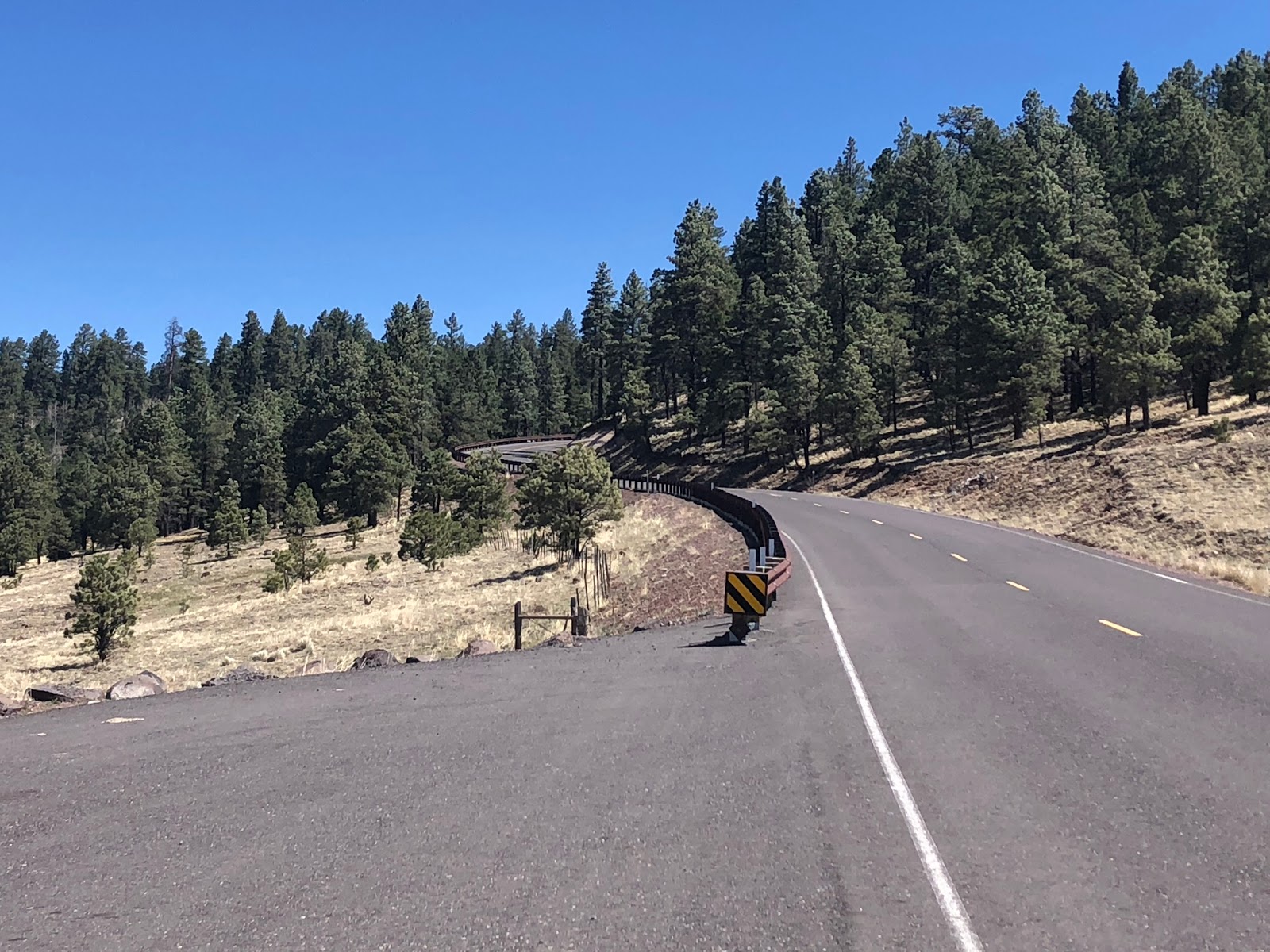
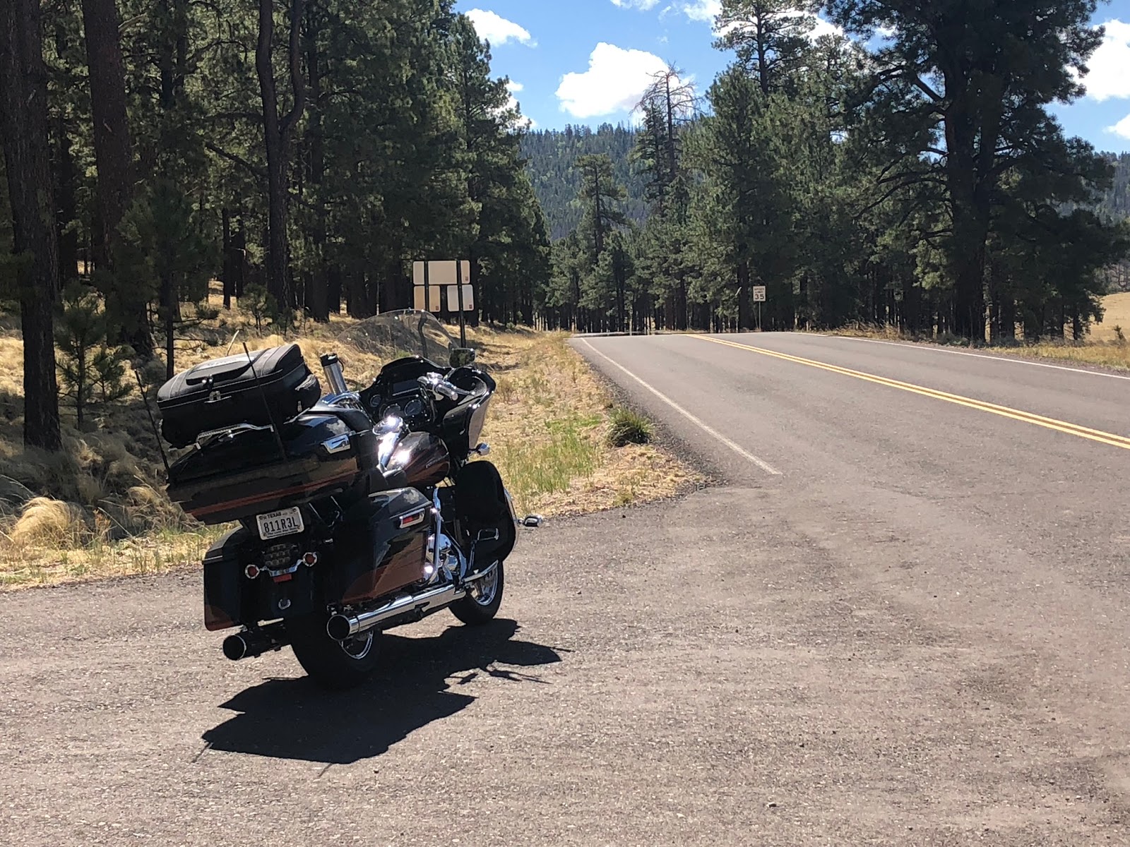
Ever since we dismounted in Alpine, every biker-knowledgeable person we met told us we need to take the new road that runs west out of Alpine towards Big Lake. The new road being AZ-249. The “new” part is the road was paved a few years ago (previously a dirt road) and it connects with several other paved highways to make a loop. “Even if you don’t have time to make the full loop, go up to Big Lake and back, it’s only 18 miles each way.”, they said...consistently. We really didn’t have time (needed to get to PHX to greet our wives as they landed) and didn’t realize the speed limit was 35mph the whole way until we got several miles into the road.


We may - or may not - have adhered to the posted speed limit. And we barely made it to PHX in time. But, man, am I glad we listened to the voices!

Back in Alpine, we met-up with a couple of riders from Texas who had just run the Devil’s Highway, formally Route 666 (now known as US-191 and the Coronado Trail). They have run the road several times over multiple trips, but always did the route South to North (we were doing the opposite). Armed with a fresh road conditions report, we set out with excitement.

Think Tail of the Dragon...only 9x longer. Seriously.

The road runs through the White Mountains...apparently all over the White Mountains! The peak is the Blue Vista rest stop which provides views for as far as the eye can see and the clouds allow. On the north side of the vista, the terrain is high sierra, while the south side is more high desert. It offers everything from wide sweeps to tights switchbacks...LOTS of switchbacks! Unfortunately, the Wallow Fire (2011j really took its toll on the forest that once provided a beautiful landscape and Mother Nature is struggling to recover. But this is definitely one of my Top 10 motorcycle roads in the US in terms of beautiful and technical challenge. Four hours of pure bliss.


At the southern end of the road are the twin cities of Clifton and Morenci, the latter of which is the home of the largest copper mine in the world, the Morenci Mine. US-191 runs through the middle of the mine and one gets an amazing view of the three pits that comprise the mine. While started as an underground facility, it was converted to a strip mine operation in the 1930’s. It looks like they are moving mountains...literally. No tour is available, but there is an observation area just off the highway which offers spectacular views of the operation.